


The Haryana Space Applications Center (HARSAC) and the state Department of Agriculture have released contrasting data on the number of farm fires in the state so far this year.
State Department of Agriculture officials have claimed that the active fire location (AFL) data provided by HARSAC is misleading. They say most of the AFLs spotted by HARSAC were not found during the physical check. Recently, in a meeting with the Chief Secretary, Deputy Commissioners from various districts had also called the HARSAC data inappropriate.
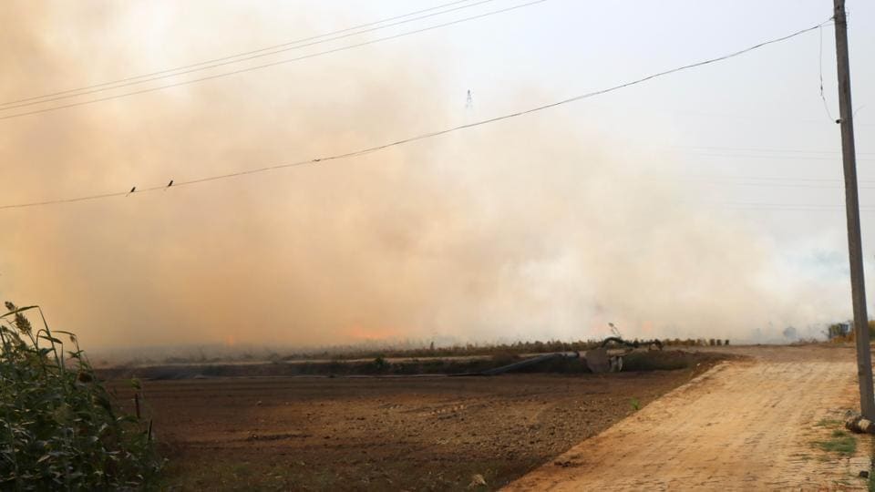
According to HARSAC, the state has seen a 40% increase in AFLs this year. However, the state agriculture department claimed there had been a 25% drop in the number of stubble burning incidents.
According to figures provided by HARSAC, the state reported 6,109 AFLs through Nov. 2 compared to 4,288 during the same period last year. The area under farm fires has also increased by around 27% with around 33,000 hectares burned through November 1 compared to 26,000 last year.
On the other hand, the agriculture department claimed that only 3,225 stubble burning incidents were reported in the state from Oct. 1 to Nov. 1, compared to 4,344 last year. Officials say farm fires are fewer than in the past four years.
Jagminder Nain, Co-Director (Agricultural Engineering), Department of Agriculture, said: “HARSAC data shows more incidents of stubble burning than the figures reported by the Indian Council for Agricultural Research. There are fewer farm fires this year than last year according to data collected by the Indian Council for Agricultural Research.
Karam Chand, deputy director of the agriculture department, said about 50% of the AFLs shown by HARSAC are not in the field. Out of 974 locations given by HARSAC in Kaithal district, 447 incidents were not found during physical verification.
He said variations in the data have led to a lot of confusion about AFLs and actual cases of thatch burning. “Additionally, 91 locations identified by our officers were not shown by HARSAC,” he claimed.
HARSAC director VS Arya said, “I have no say if any other department raises questions about this data.” Earlier he had said: “The resolution of the satellite is 375 × 375 meters and an AFL is in this area. The fire could be near or around the captured area. Also, the satellite does not pick up small fires like those at cremation or burning piles of garbage.


More Stories
US Department of Agriculture awards $50 million grant to sugar beet industry – Agweek
New York State Department of Agriculture Announces Statewide Urban Agriculture Study
Department of Agriculture Launches New Favorite PA Website Connecting Pennsylvanians to PA Products and Agricultural Destinations